
ORLANDO, Fla. – Cone of uncertainty. Right-front quadrant. Storm surge. Some terms you may know, others not so much. Here are some of the things you may hear meteorologists talk about during hurricane season explained.
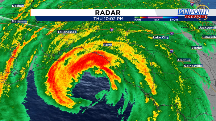
Eye: The center of the hurricane. Winds are relatively calm and skies mainly clear in this area.
Eyewall: The outer edges of the eye. The strongest winds of the storm are found in this area.
Wind Shear: Change in wind speed or direction with height. Disrupts tropical development.
Landfall: When the center of the eye intersects with land.
Cone of Uncertainty: Plain and simple the forecast track of a given storm. It’s in a cone to account for forecast error. It’s important not to focus on the center, but rather the whole cone. It is also important to know that the cone is the forecast for the center of the storm and impacts will likely be felt well outside the actual cone.
Right Front Quadrant aka the ‘Dirty Side:’ All parts of a hurricane are dangerous, but this is the most dangerous. The strongest winds and highest tornado threat are found in this quadrant. The quadrant is relative to the motion of the storm. It is always to the right of the center of motion.
Storm Surge: Abnormal rise of water generated by a storm, over and above the predicted astronomical tides. Essentially the storm is piling up the ocean and pushing it inland. This is the deadliest aspect of tropical systems.
Rapid Intensification: A 35 mph increase in maximum sustained winds in a 24-hour period.
Millibar: Unit of pressure commonly used meteorology. A falling pressure results in a stronger wind speed.
Tropical Cyclone: Any tropical area of low pressure found anywhere around the world. In our part of the world, they are referred to as tropical storms and hurricanes. Tropical cyclones are not associated with warm or cold fronts. These storms intensify with warm ocean waters and development thunderstorms around their center of circulation.
Subtropical Storm: This is hybrid system, not fully tropical, but gets its energy from both differences in temperature and warm ocean water.
Potential Tropical Cyclone: Designated by the National Hurricane Center when a disturbance that has not yet met all of the meteorological characteristics to become tropical but has the strong potential to become one. The disturbance will receive this designation when it has a strong chance to bring tropical storm or hurricane conditions to land within 48 hours. Watches and warnings will then be issued for the impacted areas. This is fairly new, first used in 2017.
Tropical Outlook: Issued by the National Hurricane Center to highlight an area of disturbed weather that has a chance to develop into a tropical depression, storm or hurricane.
Tropical Advisory: Issued when a tropical depression develops. Advisories are issued at 5 and 11 both in the morning and evening by the NHC. Intermediate advisories are issued at 8 and 2 when their are watches and warnings in effect.
INVEST: Area of investigation as designated by the NHC. In the Atlantic they are numbered 90-99 and are followed by the letter L. Example INVEST 90L.
Meteorologist Jonathan Kegges provides the latest information about everything happening in the tropics.


Post comments (0)